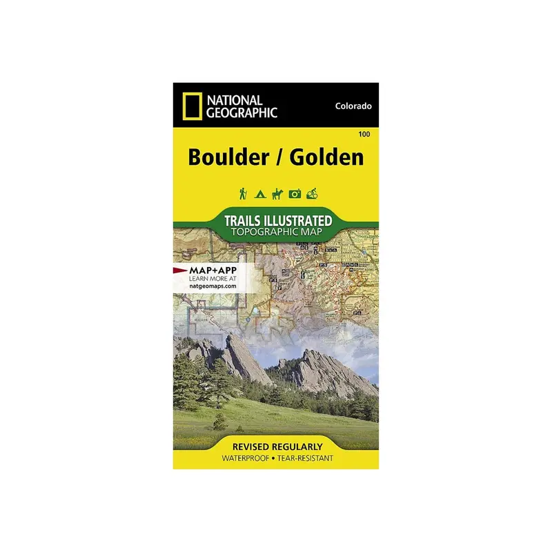
Description
National Geographic’s Trails Illustrated map of Boulder and Golden provides detailed exploration of central Colorado’s Front Range. Developed in collaboration with local land management agencies, this map highlights Boulder Mountain Park, Clear Creek, Golden Gate Canyon State Park, Alderfer/Three Sisters Park, Lookout Mountain, and Red Rocks amphitheater.
- Extensive Trail Coverage: Miles of marked trails for hiking, biking, horseback riding, and motorized vehicles. Includes legends for White Ranch, Alderfer/Three Sisters, and Apex parks.
- Detailed Points of Interest: Covers Boulder Mountain Park, Golden Gate Canyon State Park, Red Rocks amphitheater, and communities like Lyons, Boulder, Golden, Morrison, Aspen Park, and Evergreen.
- Recreation Features and Scenic Routes: Notes campgrounds, trailheads, interpretive trails, boat launches, fishing spots, swimming areas, and the scenic Lariat Loop byway.
- Topographic and Practical Information: Provides contour lines, elevations, trail etiquette tips, survival advice, and contact details for safe exploration.
Every Trails Illustrated map is printed on “Backcountry Tough” waterproof, tear-resistant paper with a full UTM grid for GPS navigation.
Other features include Arapaho National Forest, Boulder, Golden, Pike National Forest, Roosevelt National Forest, Superior, and Thorodin Mountain.
Explore more from our collection.


Reviews
There are no reviews yet.