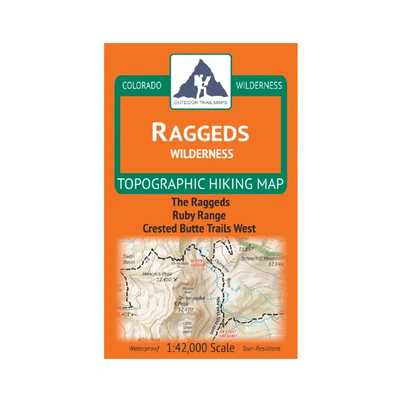
Description
- Waterproof and tear-resistant – designed for on-trail use in harsh conditions
- 1:42,000 scale (1 in ≈ 0.66 mi)
- Smaller size (4”x7” folded, 27”x19” unfolded) and light weight – under 2 oz
- Trail segment mileages for all trails
- Lat-long coordinates for all trailheads and key trail junctions
- 50 ft contour lines
- Accurate, intuitive and easy-to-use
This wilderness area spans 65,000 acres across the Raggeds Wilderness of central Colorado. Coverage includes The Raggds, Ruby Range, Oh-be-joyful trail, and great coverage of trails west of Crested Butte, CO.
Explore more from our collection.


Reviews
There are no reviews yet.